wind speed units in Display settings
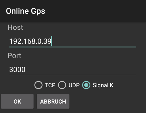
Online GPS comes over TCP, UDP or as a Signal K websocket. For websocket it is possible to define an address like an ip
When the incoming GPS signals are not satisfying, it is possible to work in a mixed mode. The position messages from an external device are ignored than and for position the internal GPS is used.
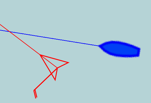
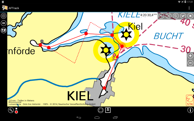
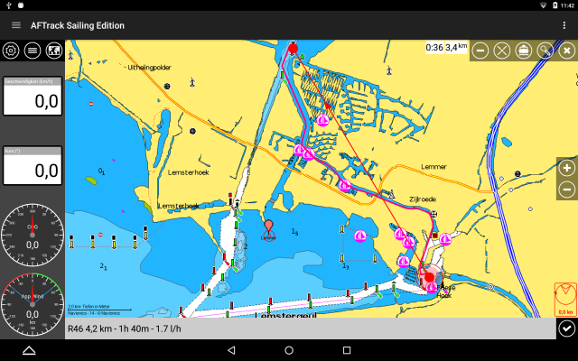
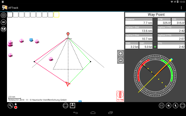
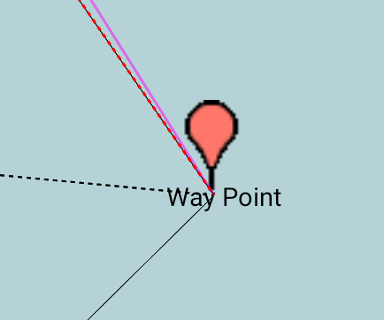
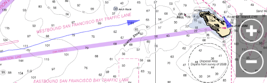
if AIS entries on display they also have an arrow.
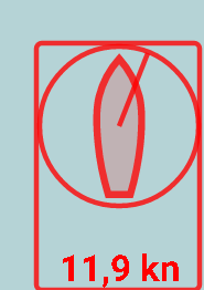
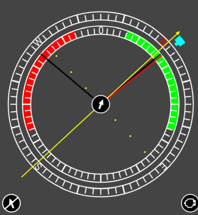
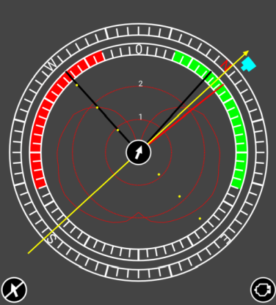
With a tap on the wind info a pop up shows the wind settings
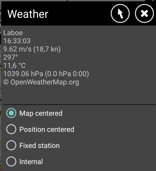 |
When
not internal is selected, the info shows the weather values of the
nearest station to the map center. This is updated every 5 minutes. Other options show different results. For use of an internal wind feature, please select this and press the arrow to define a wind direction and speed by hand. |
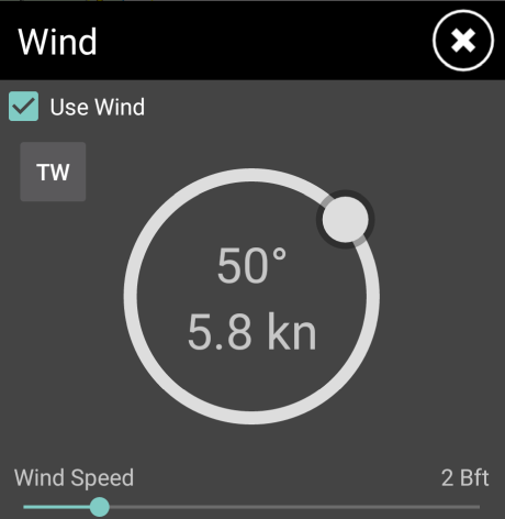 |
When there is no input for
an external wind instrument this values are used. |
Display
settings, defines best angle to wind and max speed
This values are used for wind routing calculation when no polar values
available.
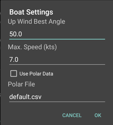
When
polar values from a file should be used check the box. The files should
be stored in AFTrack folder /data/aftrack/polar like
the default.csv CSV files are converted to a xml file and also placed
in polar folder.
The file contains a MMSI on each line.
 Select the overlay button and set the alarm